
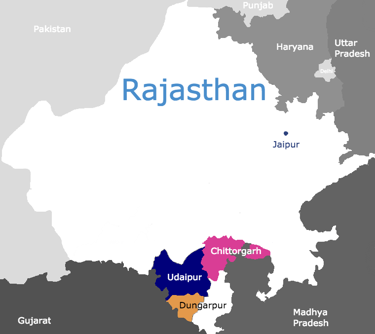
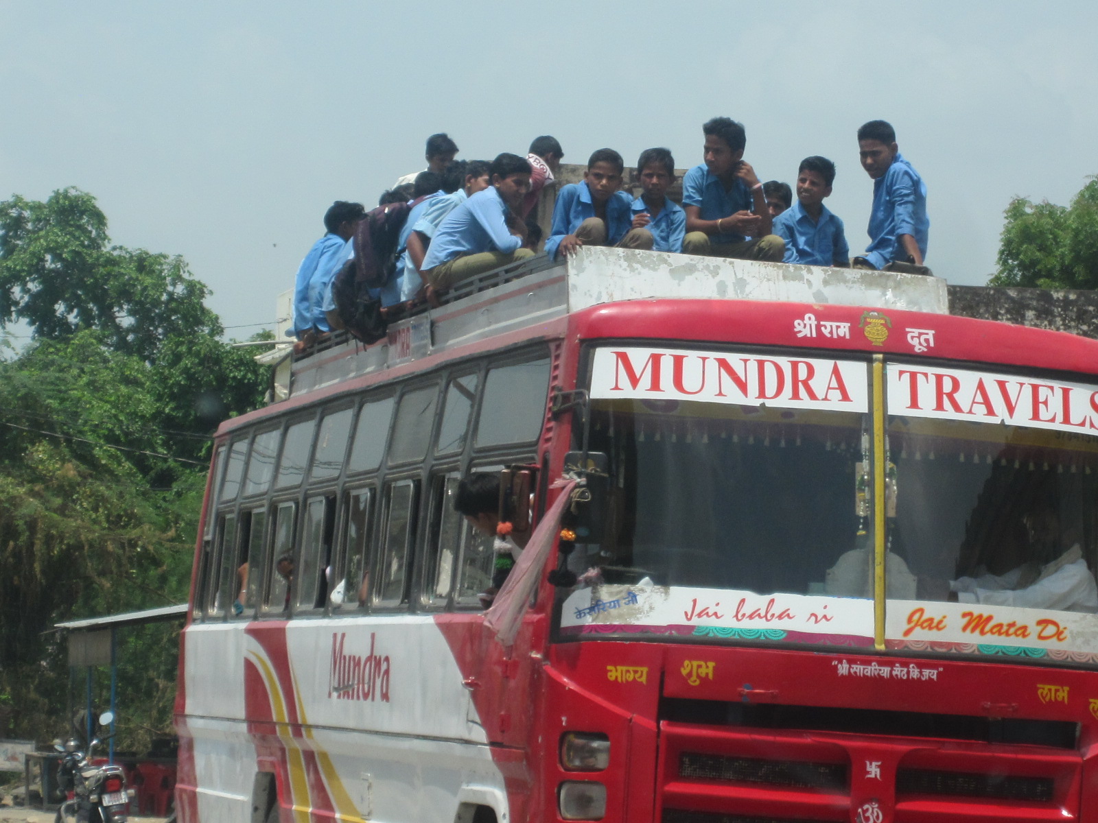
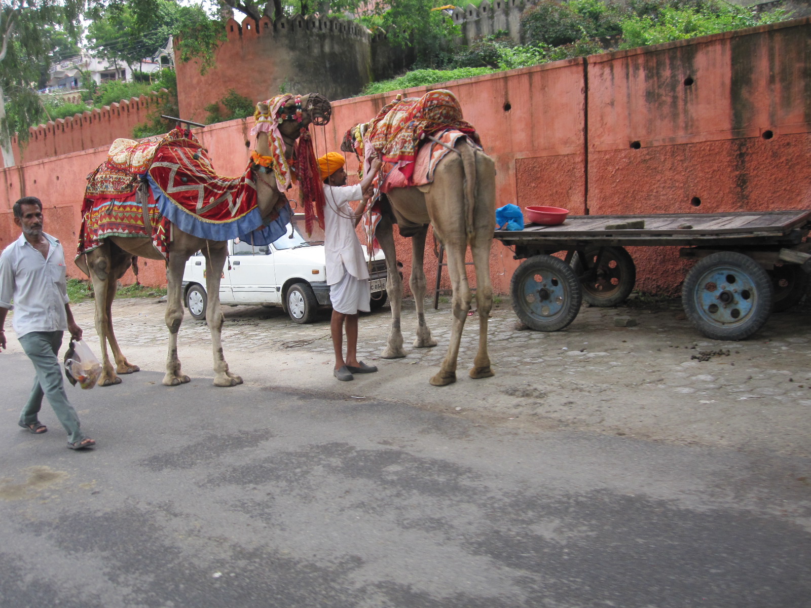
Our Communities – Rajasthan
Chittorgarh District
Area: 6,746 (10,856 sq km)
Total Population: 1,544,338
Rural Population: 1,503,300
Population distribution*: 6 cities, 11 towns, 2,201 villages
Rural female literacy rate: 46.53%
Dungarpur District
Area: 2,343 square miles (6068 sq km)
Total Population: 1,388,552
Rural Population: 1,299,809
Population distribution*: 2 cities, 4 towns, 976 villages
Rural female literacy rate: 46.16%
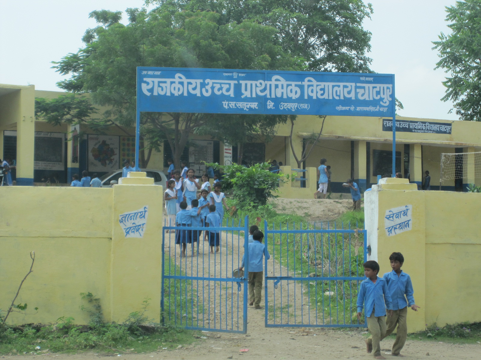
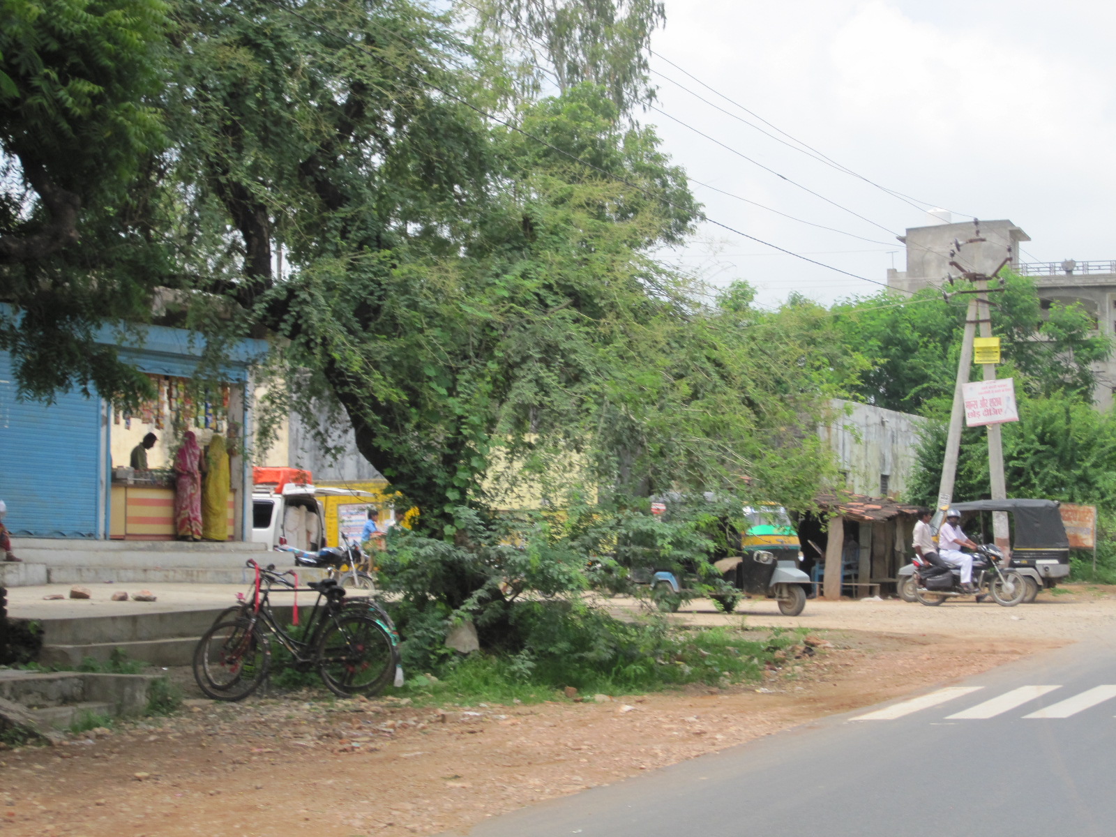
Udaipur District
Area: 7,285 square miles (11,724 sq km)
Total Population: 3,068,420
Rural Population: 2,459,994
Population distribution*: 9 cities, 16 towns, 2496 villages
Rural female literacy rate: 48.45%
A Closer Look


*In India, a city is defined as more than 500,000 people. A village is less than 200,000 and a town is anything in between.
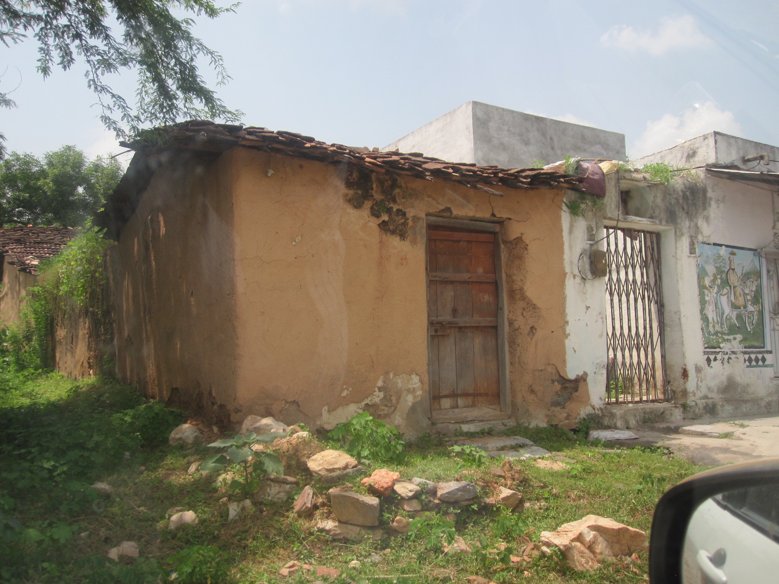
83% of our Scholars fall into the Scheduled Tribe/Scheduled Caste (ST/SC) designation. These are communities of indigenous and marginalized people who have been identified by the Indian government as being socio-economically disadvantaged. While the government has implemented many programs to help these people attain financial security, many still struggle to attain an acceptable standard of living as defined by the United Nations.
A significant number of ST/SC people are engaged in subsistence farming and many, due to limited crop harvests, are forced to become migrant laborers and become trapped in a vicious debt cycle. For more about migrant laborers, click here.