
Our Communities – Gujarat
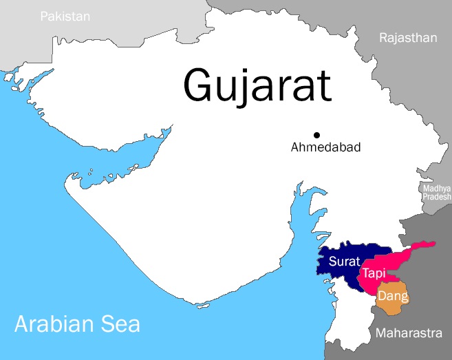
Dang District
Area: 681 square miles (1,764 sq km)
Total Population: 228,291
Rural Population: 203,604
Population distribution*: 0 cities, 1 town, 311 villages
Rural female literacy rate: 65.12%
Average yearly family income of a Dangs Scholar: $365 (INR 21,900)
Surat District
Area: 1,612 square miles (4,212 sq km)
Total Population: 6,079,231 (2011 census)
Rural Population: 1,232,109
Population distribution*: 1 city, 14 towns, 745 villages
Rural female literacy rate: 70.6% (2011 census)
Average yearly family income of a Surat Scholar: $493 (INR 29,600)
Tapi District
Area: 1,325 square miles (3,434 sq km)
Total Population: 807,022
Rural Population: 727,535
Population distribution*: 0 cities, 5 towns, 519 villages
Rural female literacy rate: 59.25%
Average yearly family income of a Tapi Scholar: $310 (INR 18,700)
A Closer Look


*In India, a city is defined as more than 500,000 people. A village is less than 200,000 and a town is anything in between.
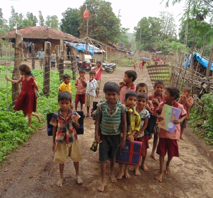
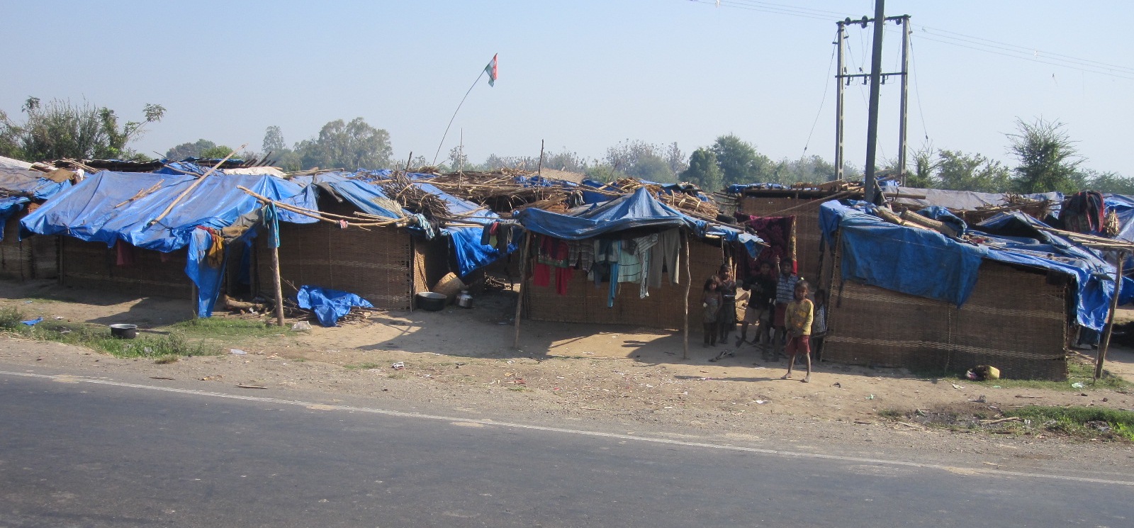
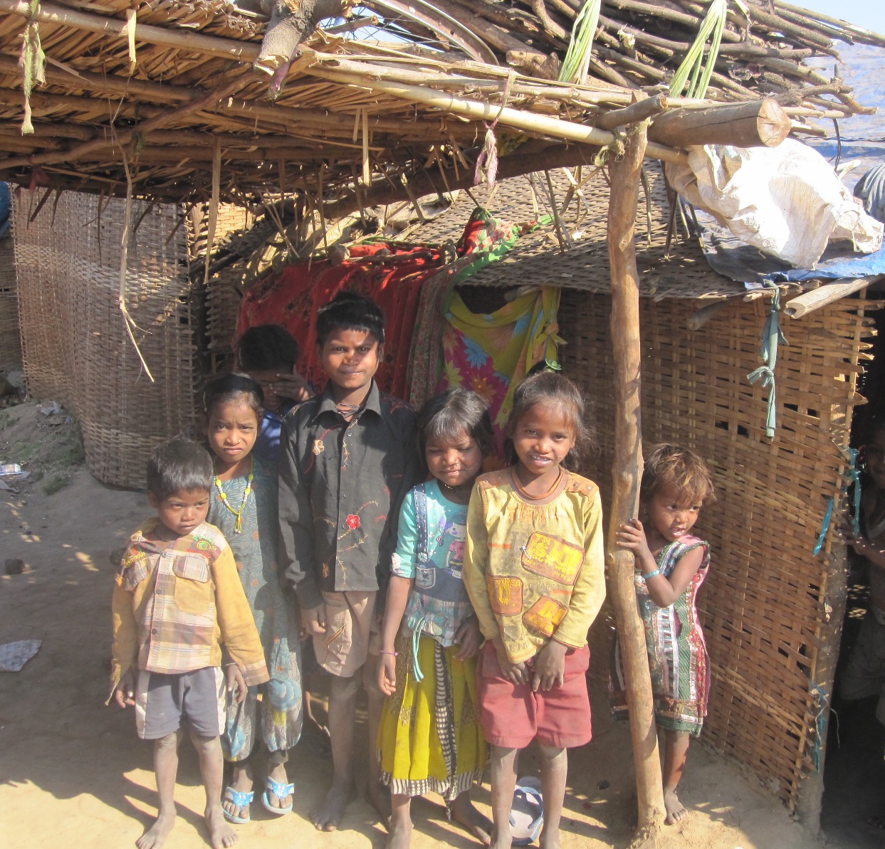
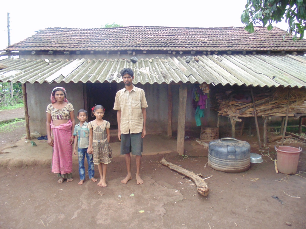
83% of our Scholars fall into the Scheduled Tribe/Scheduled Caste (ST/SC) designation. These are communities of indigenous and marginalized people who have been identified by the Indian government as being socio-economically disadvantaged. While the government has implemented many programs to help these people attain financial security, many still struggle to attain an acceptable standard of living as defined by the United Nations.
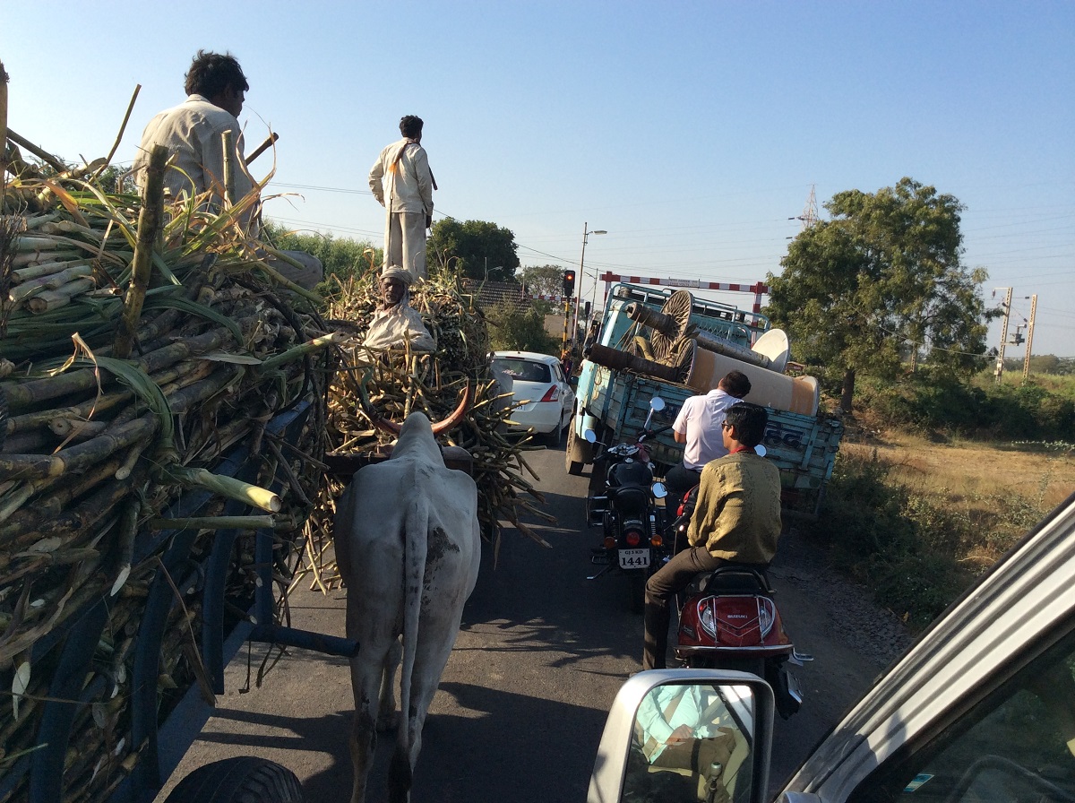
A significant number of ST/SC people are engaged in subsistence farming and many, due to limited crop harvests, are forced to become migrant laborers and become trapped in a vicious debt cycle. For more about migrant laborers in southern Gujarat, click here.